


Pressure Level Maps
Surface Maps
- WPC Experimental National Fcst Map
+ N. America Temperatures / Celsius
Station Plots
+ METARs/Station Model Maps (interactive)
+ Weather & Hazards Data Viewer
+ Metar Viewer: Raw Metar Data
_______________________________________
Lightning Maps
Upper Air Maps
+ 850 mb
+ 700 mb
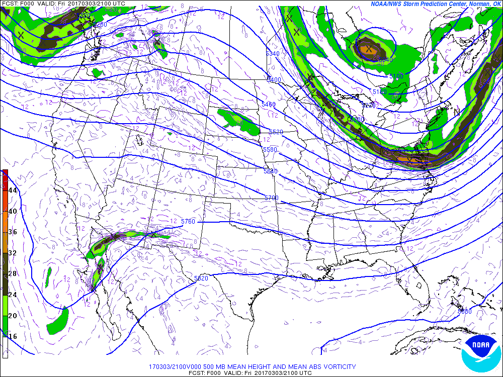
+ 500 mb
+ 300 mb
+ Wind/Shear/Divergence/Vorticity Maps
+ 500 mb (past 30 days animated)
+ Jet Stream Animation (Past 6 Days)
+ 200 mb Height Anomaly (animated)
+ Tokyo Climate Centers (global)
_______________________________________
Map Sets
Forecast Maps
+ WPC Short Range Forecast Discussion
+ WPC Forecast Low Tracks/Archives
+ Severe Weather Outlook (States Maps)
_______________________________________
Interactive Mapping Tools
+ WEATHER AND HAZARDS DATA VIEWER
+ NWS Enhanced Data Display (EDD)
+ CoCoRaHS
+ mPING
+ Advance Hydrologic Prediction
Quick Link Images
+ NOAA Satellite estimated rainfall
_______________________________________
Satellite Loops
Water Vapor Loops

Satellite Imagery
International/Global Satellite Data
+ EUMETSAT
+ NOAA Science on a Sphere Maps/Data
+ Satellite Observations of Arctic Change
_______________________________________
High Resolution & Archived Images
+ MODIS
+ Wokingham Weather: Satellite Image Archive
Satellite Sites
+ GeoColor Multi-Sensor Imagery
+ NOAA Geostationary Satellite Server
+ Icelandic Met Office Satellite
_______________________________________
+ SPORT
+ ERAU
+ SatSquatch (free account required)
+ University of Wisconsin-Madison GOES-16 loops & images
GOES-16 Slider Domain Links
+ ConUS

Radar Data
NOAA

Penn State University

Weather Underground

Models & Forecast Products
Model Sites
+ CoolWx
+ UKMet (Meteocentre)
+ Real Time GFS Maps (Bentley)
+ Archive of GFS Analyses (Archambault)
+ Real-Time Model Guidance & Analyses
+ Ensemble Situational Awareness Table
+ CESM/CAM-SE (experimental tropics)
+ Ensemble Sensitivity Analysis
Forecast Tools

+ WPC Short Range Forecast Discussion
+ WPC Fcst Low Tracks/Archives
_______________________________________

Wind Visualization Tools

Ocean & Tropical Data
Ocean Data
+ Surfline
- High Resolution Wind (Suffolk, NY)
+ SST Maps
+ Extratropical Water Level Guidance
+ NOS WATER LEVEL OBSERVATION NETWORK
+ Storm Surge Product Decision Support Wedge
+ Great Lakes Environmental Research Laboratory
Tropical
+ Currently Active Tropical Cyclones
+ Real Time Tropical Cyclones (Burg)
+ CIMSS Tropical Cyclones Group
+ Tropical Cyclone Guidance (UALB)
+ Tropical Cyclone Guidance (NCAR)
+ Colorado State Trop Met Project
+ Seasonal Hurricane Predictions (Colorado State)
+ Tropical Cyclone Tracks (Tomer Burg)
+ THE DEADLIEST, COSTLIEST, AND MOST INTENSE UNITED STATES TROPICAL CYCLONES FROM 1851 TO 2010