February 9, 2017 Blizzard
- Feb 9, 2017
- 1 min read
Blizzard of February 9, 2017
The Blizzard of February 9, 2017 was the 10th largest snowstorm on record (since 1984) in Islip, NY. 13 of the other 14 storms have occurred since 2003. According to the National Weather Service Islip recorded blizzard conditions for 7 hours and 23 minutes. See PNS statement for more details, and statistics from other locations.

Link to NWS page for this event: http://www.weather.gov/okx/storm02092017
Total Snowfall Maps courtesy of the National Weather Service and WeatherBell.


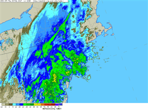
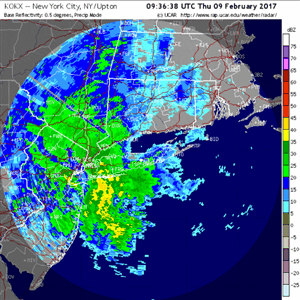
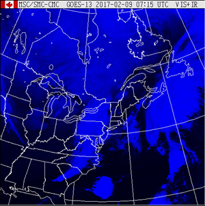
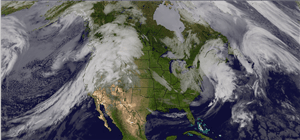
Radar and Satellite loops and images of the storm. Radar images via NCAR.

The blizzard was a prolific producer of thundersnow. According to Matthew Cappucci (see here) a total of 120 cloud-to-ground lightning strikes occurred over Long Island and Southern New England in the cold sector of this storm.

(Image Credit: weatherbell.com)

SPC Surface Map for 12z (7:00 am Eastern)

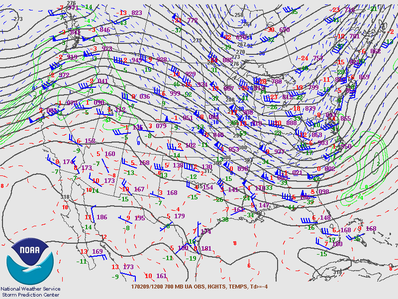
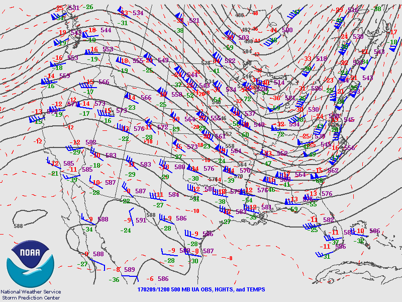
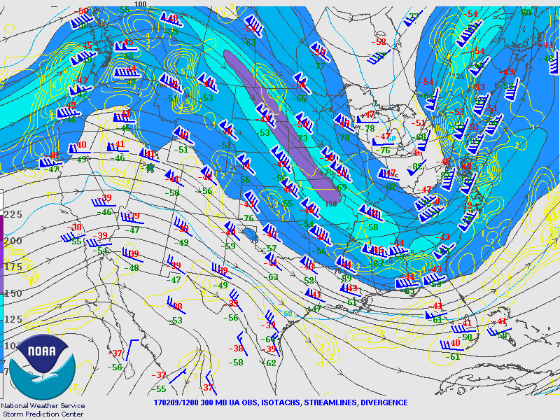
SPC Pressure Level Maps for 12z (7:00 am Eastern)

SPC's mesoanalysis showed sloping frontogenesis increasing in altitude from SE to NW around 5:00 am on February 9, 2017.

Record high temperatures were set in many locations across the region on 2/8/17. Just 24 hours separate these 11 am observations.

Comments